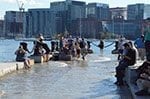
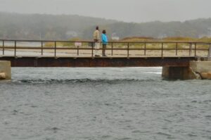
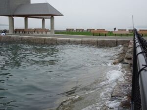
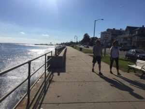
 This week’s King Tide provided a glimpse of Boston’s average daily high tide sometime around or after mid-century. During the three-day King Tide event, Boston Harbor Now, Massachusetts Coastal Zone Management, the New England Aquarium and the Museum of Science encouraged people to photo document the daily high tides within the City of Boston and surrounding region. This crowd-sourcing initiative generated hundreds of citizen photographs that can be used to help Massachusetts plan for rising sea levels.
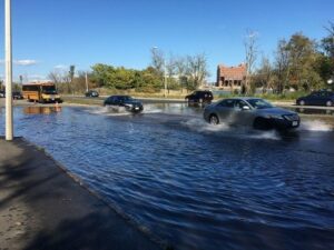
BSC was excited to actively participate in documenting King Tide conditions within Lynn, Gloucester, and the City of Boston (Long Wharf, Castle Island, and Morrissey Boulevard). “Seeing the water levels around Boston at these elevations really gives the threat of sea-level-rise a sense of reality,” said Jeff Malloy, BSC’s Senior Resiliency Planner. Civil Engineer Dave Guerriero, who led BSC’s photodocumentation effort, brought an engineering perspective to the exercise, emphasizing the significant engineering challenge the City faces under sea-level-rise conditions. “The threat of a five-foot storm surge on top of this high tide will have devastating effects within the region,” said Guerriero.