Massachusetts Department of Fisheries and Wildlife West Bridgewater, Easton, and Raynham, MA
Phragmites Inventory at Hockomock Wildlife Management Area
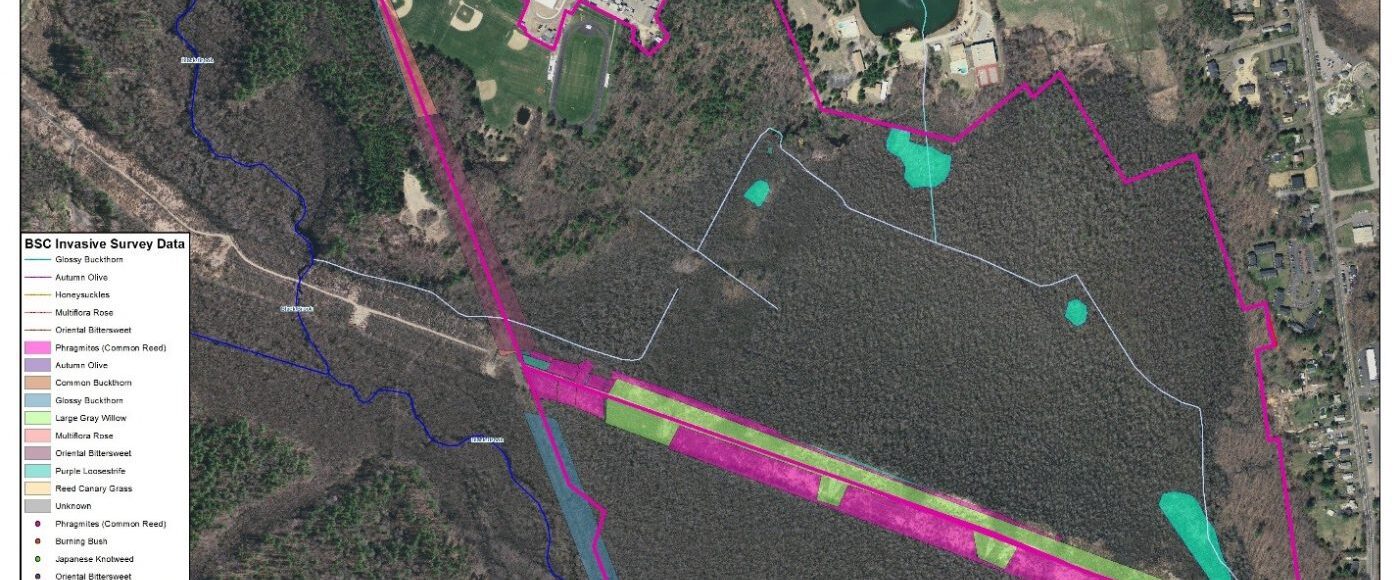
On behalf of the Massachusetts Department of Fisheries and Wildlife, BSC documented and mapped the current Phragmites australis within the Hockomock Swamp Wildlife Management Area in the Towns of Bridgewater, Easton, and Raynham. The project area encompassed 2,446 acres of the almost 17,000 acres that comprise Hockomock Swamp.
BSC developed a geodatabase of all Phragmites occurrences within the project area, along with occurrences of any other observed significant invasive species.
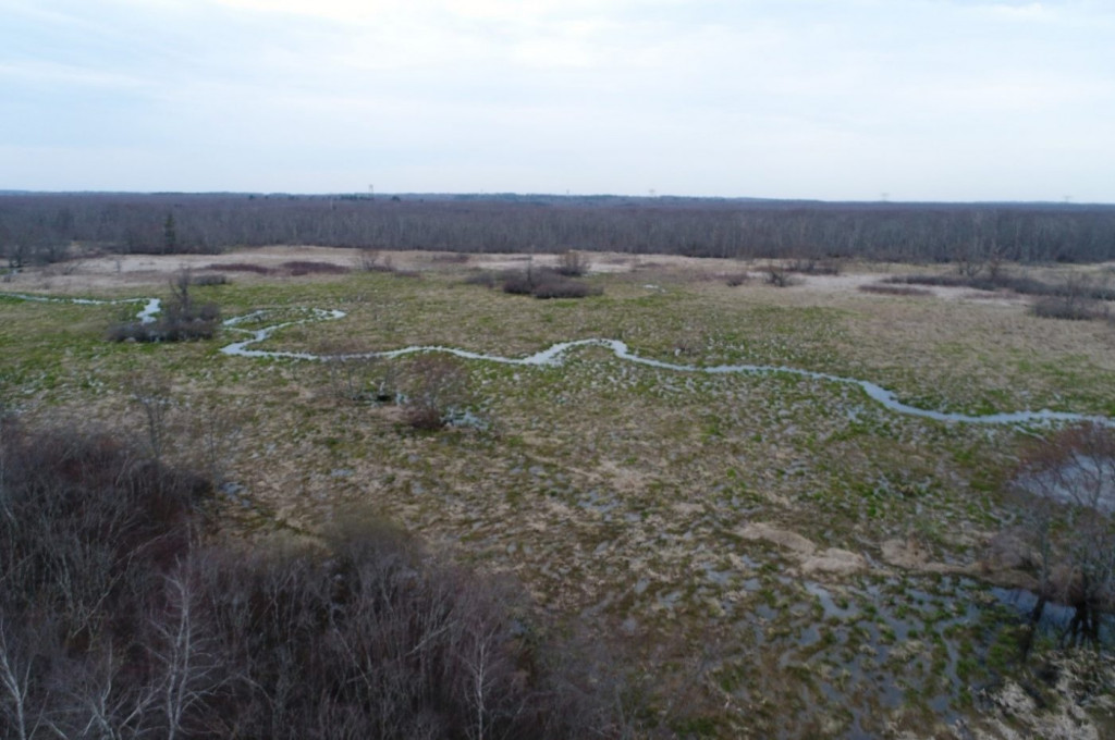
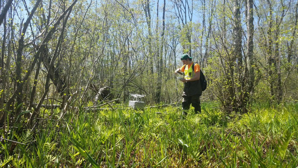
During the project, BSC employed the assistance of unmanned aerial vehicle (drones) flights to access locations that would otherwise be inaccessible due to difficult terrains or deep water in the project area. Photographs were taken every 50 feet from a height of 400 feet and used to identify stands of Phragmites. In addition to the data provided by aerial coverage, BSC conducted field surveys. Ultimately, the drone aerial imagery was used to map the project area, inform analysis, and guide management recommendations.


