BSC Boat Services in Action: Hydrographic Surveys, Sediment Sampling, and Field Support for Coastal and Waterfront Projects
Before a dredging project, waterfront improvement, or coastal investment moves forward, teams need to understand what is happening below the waterline.
BSC’s boat-based field services provide that information. Through hydrographic surveying, sediment sampling, and field support, our team gives municipalities, coastal communities, utilities, and waterfront owners the data they need to plan, permit, design, construct, and maintain projects with a clearer understanding of existing conditions.
Mapping What's Below the Surface
Hydrographic surveys map underwater conditions and water depths, helping project teams understand what the bottom looks like before design moves forward. That information supports dredging, permitting, design, and construction monitoring for projects ranging from harbors and marinas to piers, bulkheads, and docks.
Sediment sampling adds another piece of the picture. BSC’s core sampling captures soil strata and physical and chemical properties, giving dredging and remediation teams the information they need to evaluate how material can be managed or disposed of and keep permitting moving.
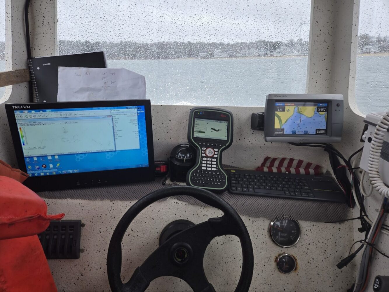
For coastal sites, repeat hydrographic surveys can also track changes over time, providing data to support beach nourishment planning and long-term site evaluations.
From Field Data to Better Decisions

BSC supports dredging projects from feasibility through construction. Surveys establish baseline depths and dredge volumes, while sediment sampling characterizes the material itself. Together, that information helps teams plan the work and verify conditions as a project moves forward.
The same data is valuable for waterfront improvements. Marinas, piers, bulkheads, and docks all depend on conditions that cannot be seen from the surface. Understanding those conditions early can help identify site constraints before they become construction problems.
Private waterfront projects benefit from the same level of information. Whether someone is evaluating a dock, aquaculture site, or maintenance dredging project, BSC helps owners understand their site before committing to a design.
Meet the Captain Behind the Work
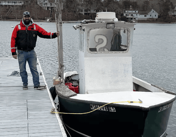
Charlie Agro, EIT, brings hands-on marine engineering, surveying, and field operations experience to BSC’s boat services.
As a Waterfront Engineer and Hydrographic Surveyor, Charlie supports dredging, coastal resilience, harbor, dock, and waterfront infrastructure projects. He also captains BSC’s hydrographic survey vessel and operates its survey and sediment sampling equipment, and holds a U.S. Coast Guard Operator of Uninspected Passenger Vessels (OUPV) license.
Good decisions on the water start with knowing what is below it. Surveys and sampling turn an unknown into a known, creating a stronger foundation for permitting, design, and construction with fewer surprises.
Planning a project on the water? Connect with BSC to learn how our hydrographic surveying and sediment sampling capabilities can support your next project.